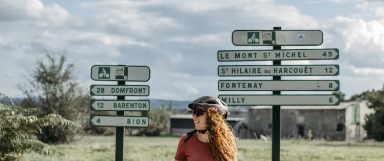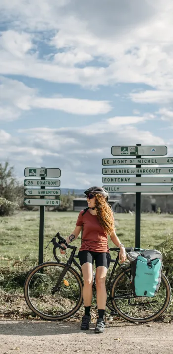





Prefer a paper guide to a phone screen? Four official topoguides cover La Véloscénie in detail, with route maps, stage profiles and accommodation listings — three in French, and one in German. A handy way to prepare your trip from the sofa and find your way on the ground, no battery required.

German guidebook about Veloscenic
New release 2025
- Publisher: Esterbauer (bikeline)
- Price: €18.00
- Format: Spiral-bound 22x12cm – 140 pages
This cycling guide takes you along the entire 440 km Véloscénie route from Paris to Mont-Saint-Michel. The maps, at a scale of 1:50,000, come with elevation profiles and are complemented by an accommodation directory along the way. The route passes through varied landscapes such as the Chevreuse Valley, the hills of the Perche, and the picturesque bocage countryside of Normandy, linking five UNESCO World Heritage sites and three national parks.

A Paper Option — If You're Comfortable in French
Prefer to travel with a guidebook in your pannier? Three official French-language topoguides cover La Véloscénie in full, priced from €14.50 to €15.90 depending on the edition — a good match if you enjoy planning with paper and are comfortable getting by with a little French.
- Glénat (2022) – €15.00 – Order from Glénat
- Ouest-France (2022 reissue) – €15.90 – Order from Cartovélo
- Chamina éditions (2021 reissue) – €14.50 – Order from Cartovélo

French Cycle Route Map – by Michelin & France Vélo Tourisme
Published in 2026
- Publisher: Michelin
- Price: €8.95
An inspiring map covering 75 cycle routes across France, including La Véloscénie (with 13 new additions in this edition), graded by level (beginner, intermediate, experienced) and showing both shared roads and dedicated greenways. A nice pick if you're a fan of old-school paper maps and happy to get by with a bit of French — the map itself is in French.